I've been involved with many maps, brochures, signs, and guidebooks over the years. I guess it's true that nothing lasts forever, and when it comes to printed maps and guidebooks, nothing proves that theory quite like mobile app replacements. The following are a few of the products and ventures that have been retired.
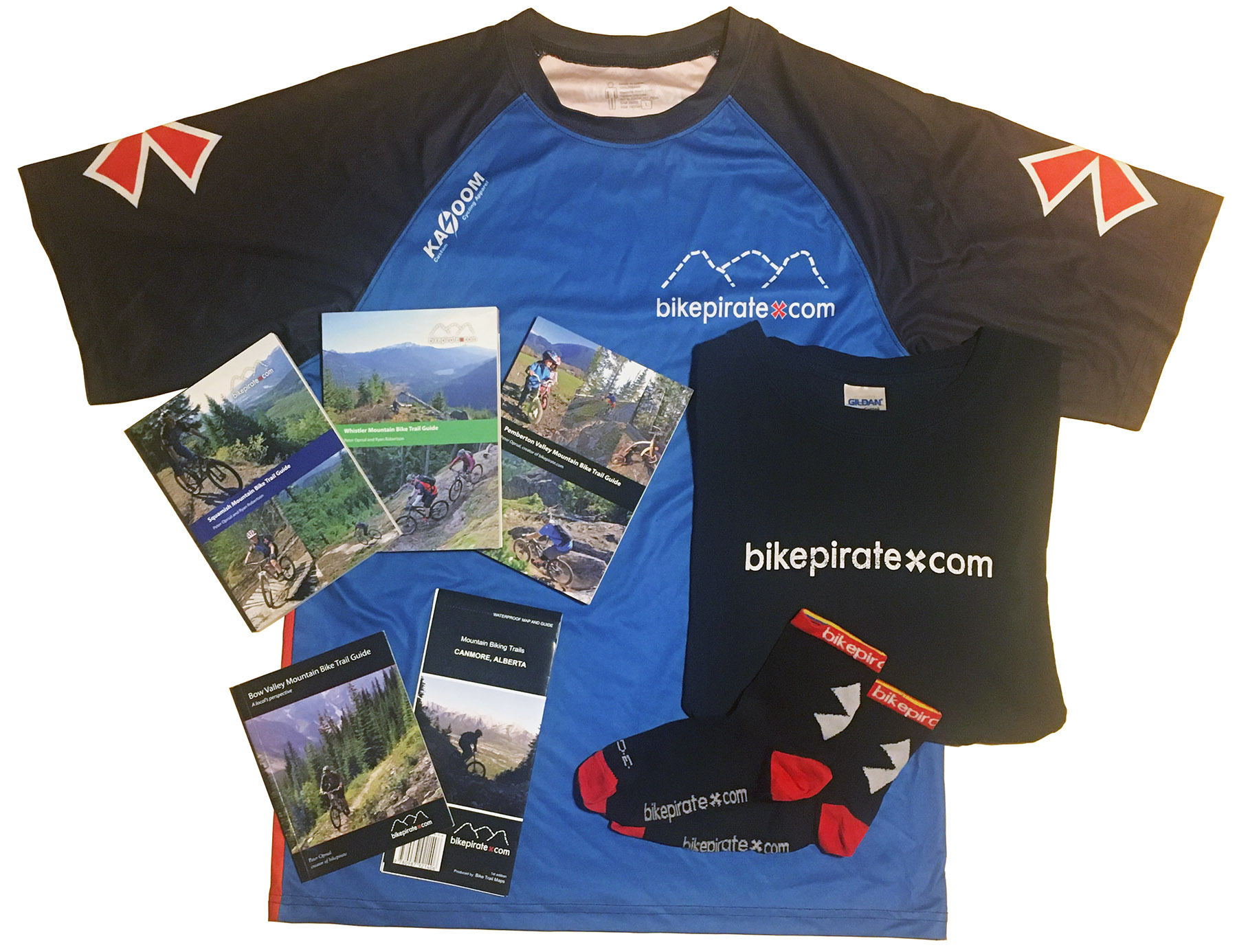
Below: bikepirate.com - Peter Oprsal's company that started out as a website resource for trails and expanded into guidebooks and then TrailMapps apps. Pete did a lot of great things to promote his brand, including T-shirts, jerseys, and even socks! |
 |
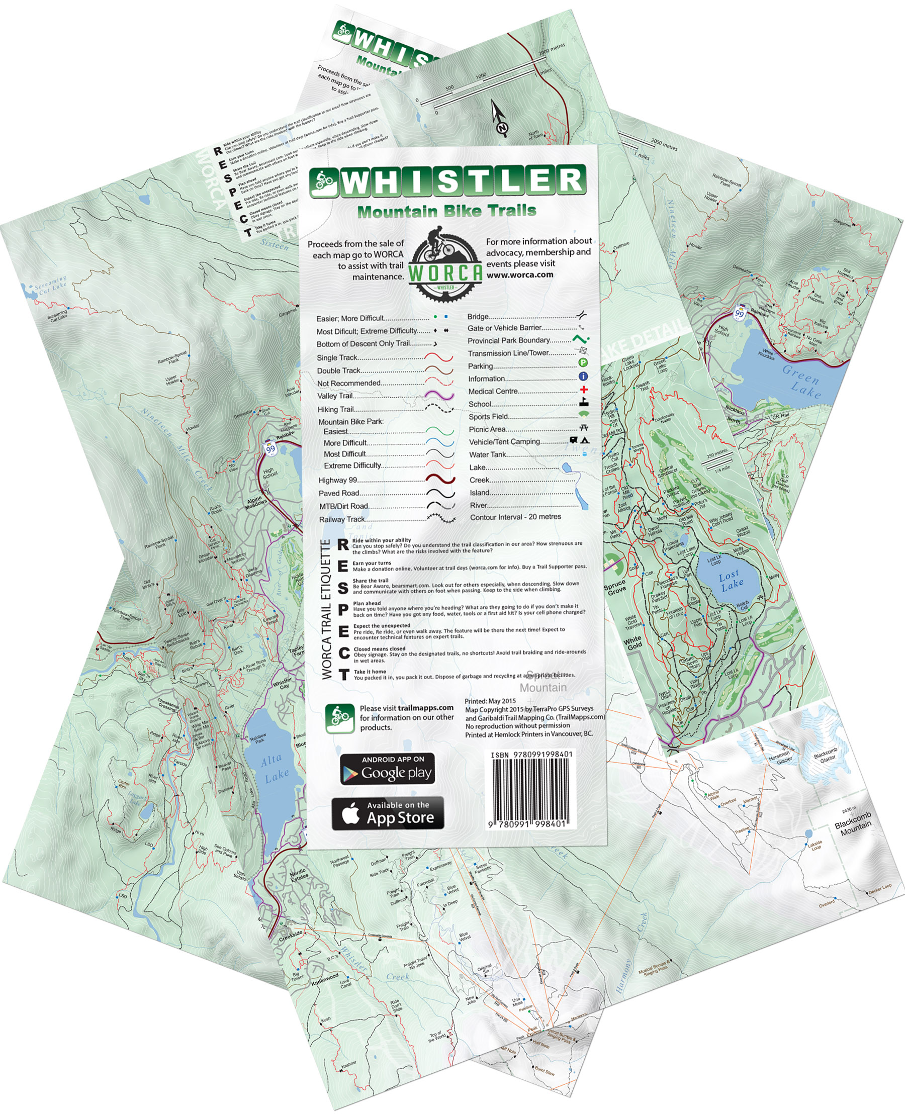
Below: My DNA on this map can be traced back to 1996. The last print run for the Whistler map was in 2015. I continue to update this map for the app, which makes it THE longest running map that I have ever maintained and published in any form. |
 |
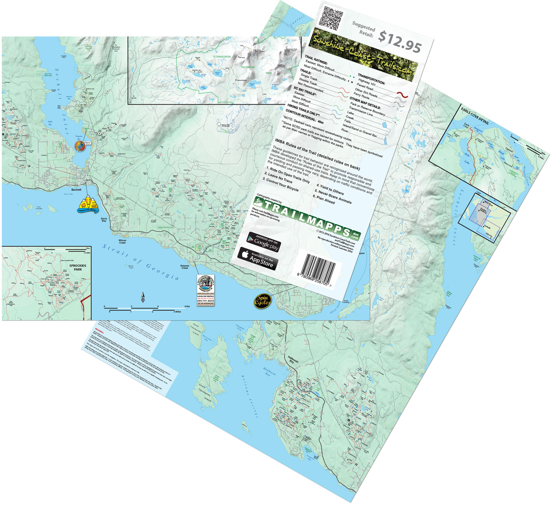
Below: Sunshine Coast retail map - Through my partnership with Becky Wayte, originally publishing a TrailMapps app based on the wealth of trail information she had created with her website (Sunshine Coast Trails), we decided to print a map as well. The map had decent sales, but the numbers didn't justify further reprints. |
 |
|
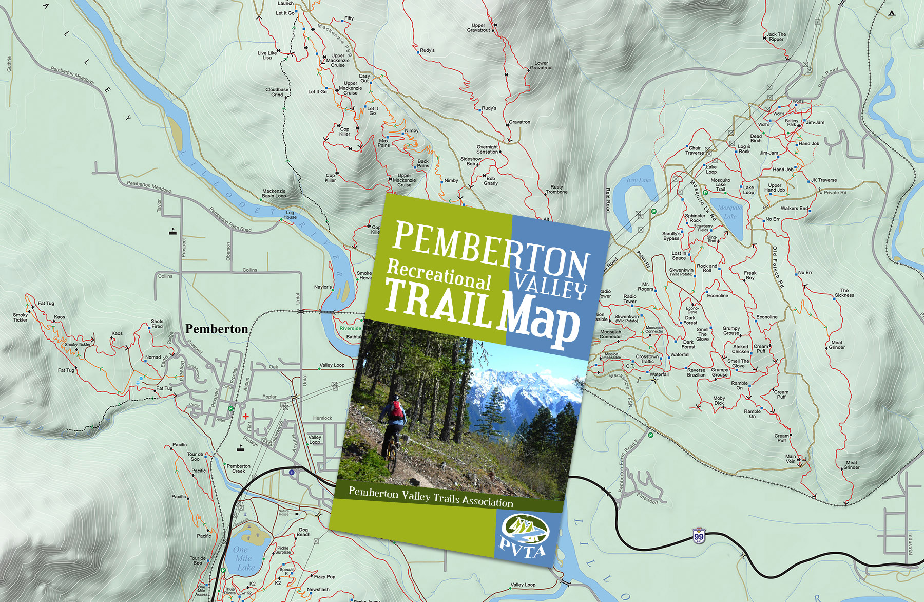
Below: I most recently updated the Pemberton map for the Pemberton Valley Trails Association (PVTA) in 2018. I am actually unaware if this map is out of print, or not. The map was also used for kiosk signs and is available for download from their website. |
 |
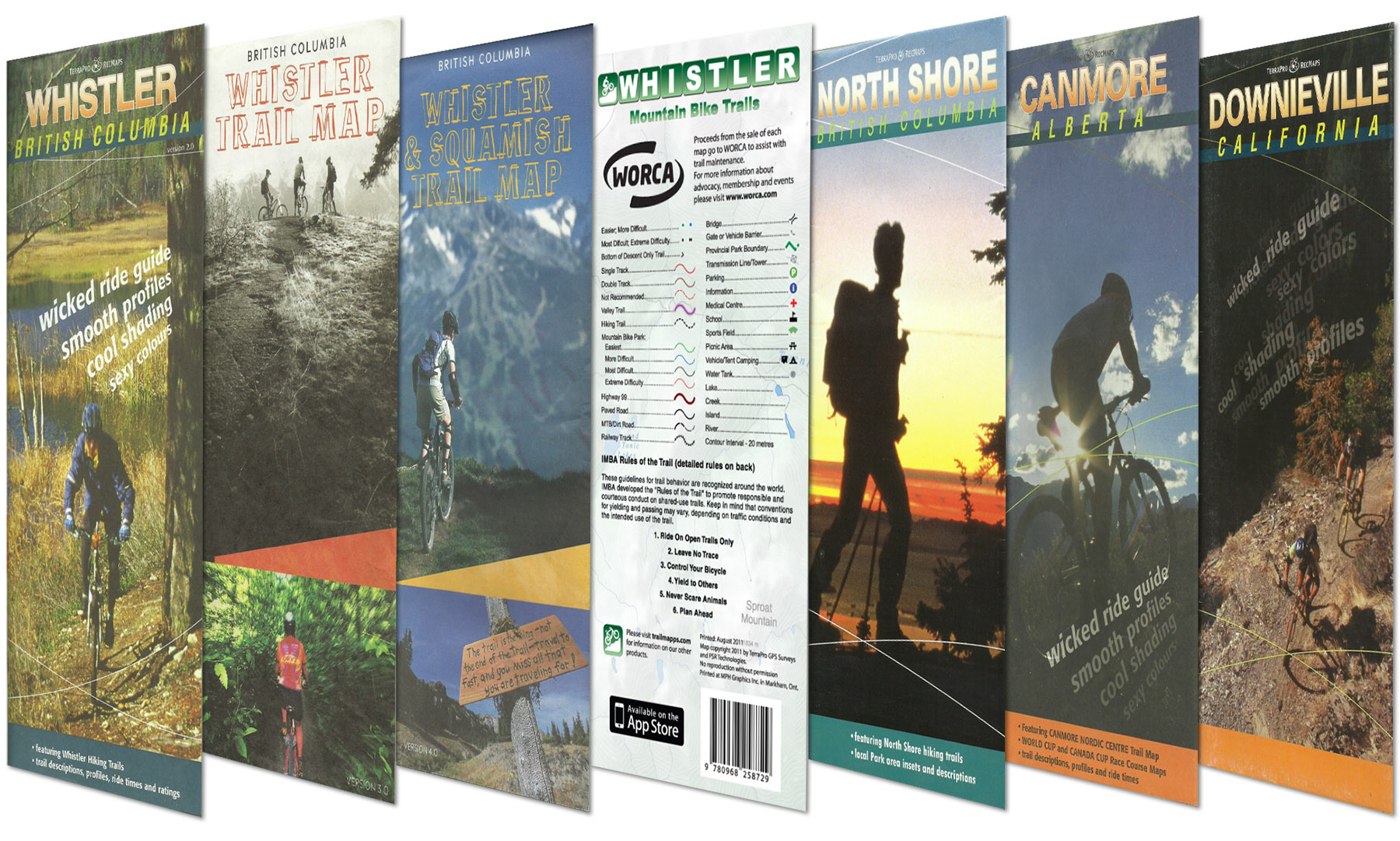
Below: I love reflecting on where I got started with publishing trail maps. The first trail map that I worked on (professionally - there were other recreation maps from my college days), would be the first trail map published by TerraPro GPS Surveys for the trails of Whistler in 1996. Trails were collected using survey grade GPS equipment which required brick-like receivers and long antenna poles in backpacks, along with handheld data loggers. The accuracy was unbeatable and the maps were very popular. After all, trail maps up to this point were all hand drawn. Being able to see every bend and switchback overlaid on modeled terrain allowed trail users to not only get a good idea of what the character of the trail would be, but also allowed them to vividly relive their adventures. |
 |
|